Atlas Ortelius
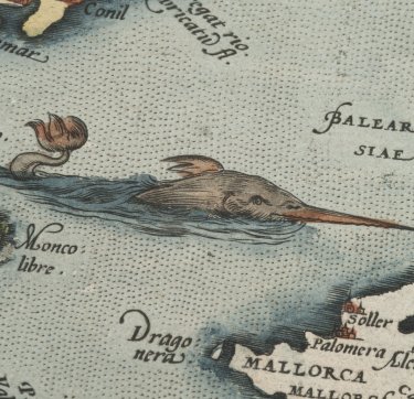
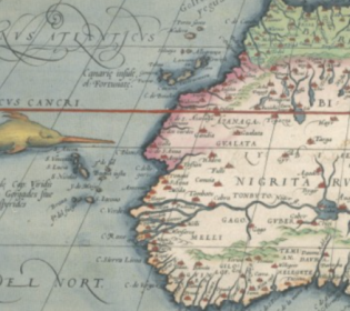
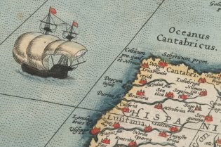
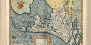
De Atlas Ortelius is de eerste ‘moderne’ wereldatlas. De Antwerpse kaartenmaker Abraham Ortelius (1527-1598) liet een aantal bestaande kaarten opnieuw tekenen in een standaardformaat en gaf ze uit als boek. De KB heeft 5 verschillende exemplaren in huis. We lichten er hier 1 uit. Dit exemplaar is namelijk bijzonder omdat er alleen maar Nederlandse teksten in staan, in plaats van ook Latijnse. Het exemplaar bevat de 53 kaarten met de teksten uit de eerste Nederlandse editie uit 1571 met latere aanvullingen.
Waar kun je de Atlas Ortelius zien?
De Atlas Ortelius is op aanvraag in te zien in onze leeszaal. Hiervoor gebruik je aanvraagnummer KW 1046 B 17. Dit kunnen KB-leden via de KB-catalogus. Je kunt dit topstuk ook online bekijken. Dat kan via het bladerboek van de Atlas Ortelius of op de Atlas Ortelius-pagina op Wikimedia Commons.
Meer lezen over de Atlas Ortelius
De volgende boeken over de Atlas Ortelius kun je inzien in de leeszaal van de KB:
- M. van den Broecke, Ortelius' Theatrum Orbis Terrarum (1570-1641). Characteristics and development of a sample of on verso map texts. Utrecht 2009.
- M. van den Broecke, Ortelius atlas maps. An illustrated guide. 2e herziene druk. ’t Goy-Houten 2011.
- C. Koeman (comp., ed.), Atlantes neerlandici. Bibliography of terrestrial, maritime and celestial atlases and pilot books, published in the Netherlands up to 1880. Amsterdam, 1967-1985; dl. III, nr. Ort 31
- P. van der Krogt, Koeman's Atlantes neerlandici; III: Ortelius's Theatrum orbis terrarum, De Jode's Speculum orbis terrarum, The Epitome, Caert-thresoor and Atlas minor, The atlases of the XVII provinces, and other atlases published in the Low Countries
